
Kenawan
Kenawan Village is one of the villages located in Permata Kecubung Subdistrict, Sukamara Regency, Central Kalimantan Province. The village covers an area of approximately 112 km² (11,200 hectares) and accounts for about 16.97% of the total area of Permata Kecubung Subdistrict. Topographically, the area of Kenawan Village is predominantly flat.
Administratively, Kenawan Village consists of 1 Neighborhood Unit (RW) and 3 Neighborhood Groups (RT). The village’s population is recorded at 591 people, comprising 313 men and 278 women. Meanwhile, the number of households (KK) stands at 229, with 189 male-headed households and 40 female-headed households.
0
Total Farmers
0
Farmer Groups
-
Protected Forest (Ha)
0
Village Documents
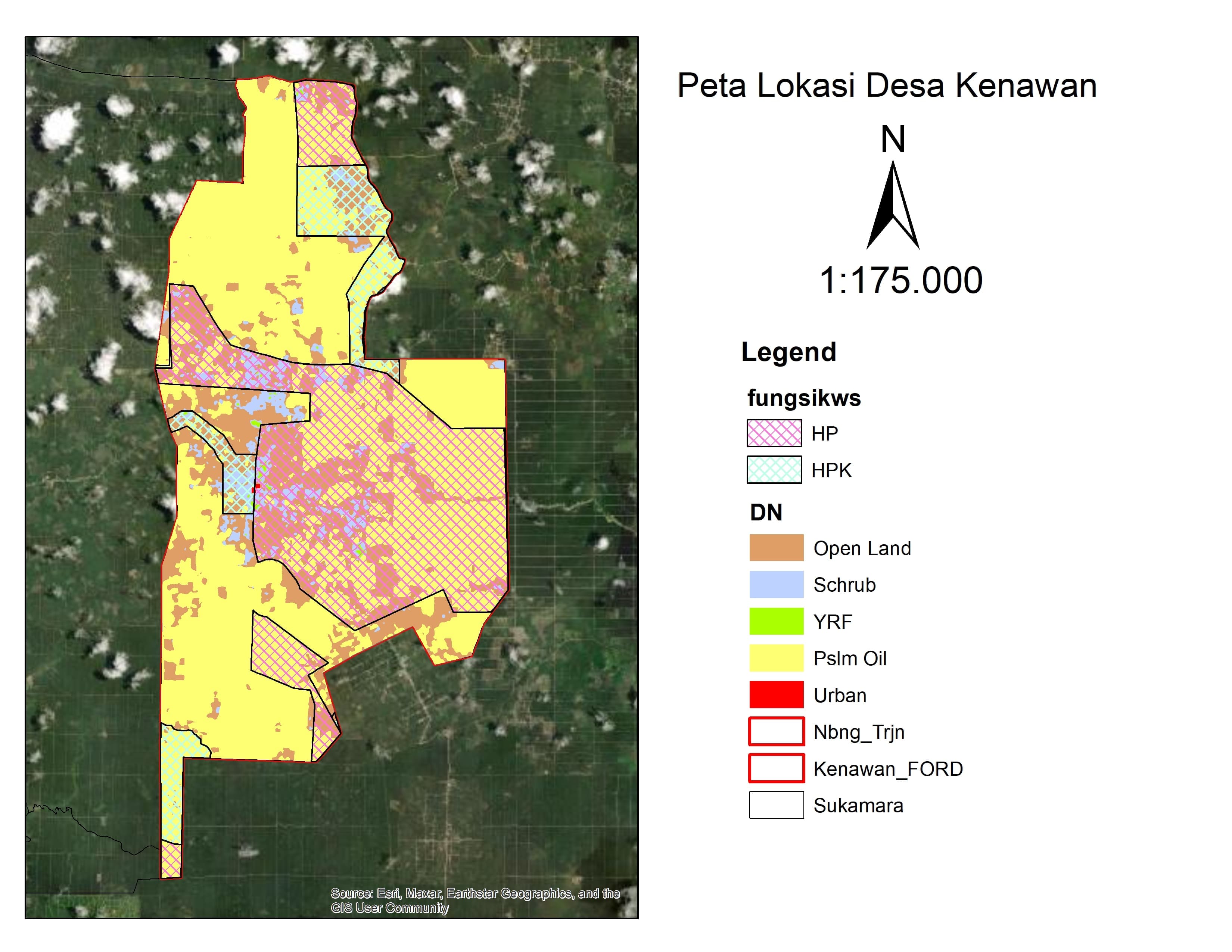
Location Map
Lat: -2.2042950 | Lng: 111.3464190
Village Narrative & Story
Geographical Condition & Profile
Kenawan Village is one of the villages located in Permata Kecubung Subdistrict, Sukamara Regency, Central Kalimantan Province. The village covers an area of approximately 112 km² (11,200 hectares) and accounts for about 16.97% of the total area of Permata Kecubung Subdistrict. Topographically, the area of Kenawan Village is predominantly flat.
Administratively, Kenawan Village consists of 1 Neighborhood Unit (RW) and 3 Neighborhood Groups (RT). The village’s population is recorded at 591 people, comprising 313 men and 278 women. Meanwhile, the number of households (KK) stands at 229, with 189 male-headed households and 40 female-headed households.
Indigenous People & Local Wisdom
On Proses
Commodity Distribution
No commodity data.
Farmer Groups
No farmer group data yet.
Land Use & Forest Data
No forest data yet.
Visual Gallery
Reference Documents
No documents yet.