
Gunam
Gunam Village is located in Parindu Subdistrict, Sanggau District, West Kalimantan Province, with an area of 34.12 km² (3,412 ha). To the north, Gunam Village shares a border with Pusat Damai Village; to the east, it shares a border with Maju Karya Village and Embala Village; to the south, it shares a border with Embala Village and Sungai Jaman Village (Meliau Subdistrict); and to the west, it shares a border with Marita Village.
231
Total Farmers
1
Farmer Groups
22
Protected Forest (Ha)
1
Village Documents
Location Map
Lat: 0.1759620 | Lng: 110.4211990
Village Narrative & Story
Geographical Condition & Profile
Gunam Village is located in Parindu Subdistrict, Sanggau District, West Kalimantan Province, with an area of 34.12 km² (3,412 ha). To the north, Gunam Village shares a border with Pusat Damai Village; to the east, it shares a border with Maju Karya Village and Embala Village; to the south, it shares a border with Embala Village and Sungai Jaman Village (Meliau Subdistrict); and to the west, it shares a border with Marita Village. The village has a population of 908 people with 287 households. Gunam is divided into three sub-villages, namely Beruak, Seranai, and Pulau M'poh. The majority of the population of Gunam village are farmers/planters, numbering 231 people.
Indigenous People & Local Wisdom
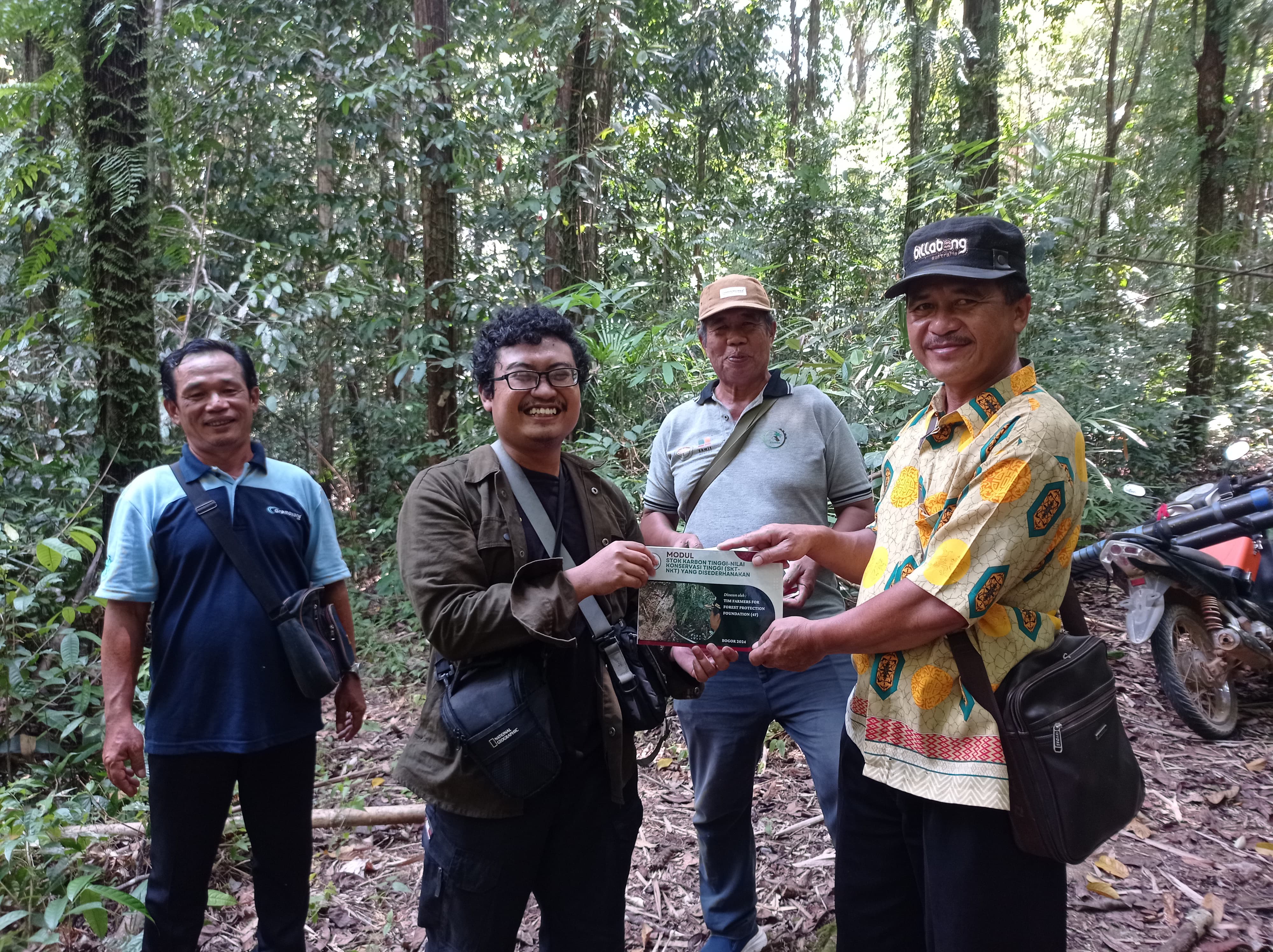
Gunam Forest Guard Team of Gunam Village
Commodity Distribution
Farmer Groups
| Group Name | Type | Members |
|---|---|---|
| Gunam Village Forest Guard | Group | 5 |
Land Use & Forest Data
Latest data year: 2023
| Year | Forest/Land Name | Indicative (Ha) | Definitive (Ha) | Type | Status | HCS-HCV |
|---|---|---|---|---|---|---|
| 2023 | - | 22.00 | 22.00 | - | Other Use Area/APL | - |
Visual Gallery

Reference Documents
| Document Title | Description | Action |
|---|---|---|
| VIllage Regulations of Gunam | The Gunam Village Regulation is the result of collaboration between 4F and Gunam Village in the protection and management of forest areas in Gunam Village. This village regulation is one of the outcomes of the overall programme implemented by 4F in Gunam Village with funding from the New Zealand Government's Head of Embassy Fund. | Download |