

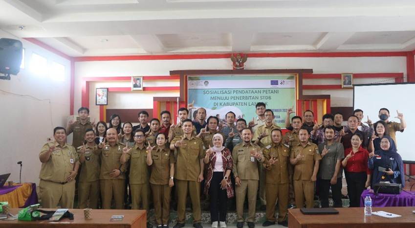
The socialization event in Landak Regency highlighted the importance of accurate plantation data, community understanding, and cross-stakeholder collaboration to support traceability and responsible landscape management.
LANDAK, West Kalimantan — How can plantation data benefit farmers while also supporting landscape management at the village level? This question was central to a socialization event and discussion on strengthening farmer registration, Cultivation Registration Certificates (Surat Tanda Daftar Budidaya/STDB), traceability, and landscape-based forest protection, organized by the Farmers for Forest Protection Foundation (4F) at the Landak Regency Development Planning Agency (Bappeda) Hall on 29 September 2026.
During the discussion, participants explored the importance of accurate and verifiable farmer and plantation data. This information includes not only farmer identities and commodities, but also plantation locations and supporting spatial information. When managed appropriately and with community involvement, the data can provide a more comprehensive picture of farming activities and landscape conditions at the village level.
Building Community Understanding and Trust
Yulianus Edo Natalaga, S.Hut., M.Sc., Head of the Landak Regency Development Planning Agency (Bappeda), who attended on behalf of the Regent of Landak, explained that STDB registration efforts had been underway since 2023. However, the registration process still faces challenges, including community concerns about taxes, Land and Building Tax (PBB), and possible implications for access to government assistance.
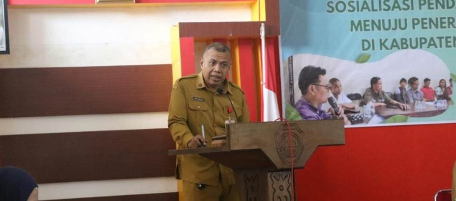
Figure 1. Yulianus Edo Natalaga, S.Hut., M.Sc., Head of the Landak Regency Development Planning Agency (Bappeda), delivers remarks at the farmer and STDB registration socialization event.
This situation highlights the need for clear communication about the purpose, benefits, requirements, and use of STDB data.
Socialization activities should give community members opportunities to ask questions and understand the process before deciding whether to participate. Coordination with village governments and joint verification are also important to ensure that recorded information reflects conditions on the ground.
In 4F’s presentation, Program Manager Harits Yowansyah explained that farmer data and plantation polygons can be considered alongside other spatial information, such as forest areas, water sources, watersheds, and areas of conservation value. The High Carbon Stock–High Conservation Value (HCS–HCV) approach can help develop an initial picture of production areas, areas requiring ecological attention, and locations that need further verification.
This analysis does not determine the status of, or rights to, any particular parcel of land. Spatial information serves as supporting material that must be checked against official data, field conditions, and relevant community knowledge and accounts. Through a participatory approach, the data can support village planning without overlooking local social contexts and land tenure arrangements.
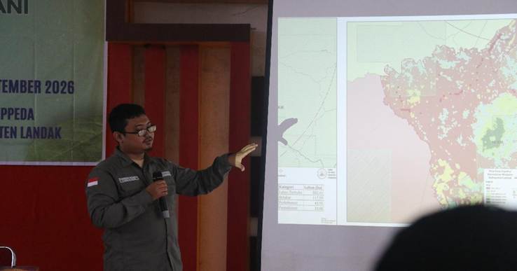
Figure 2. 4F Program Manager Harits Yowansyah presents on landscape perspectives and conservation values.
STDB, Support for Farmers, and Traceability
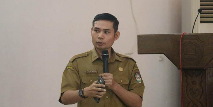
Figure 3. Bayu Supianto from the Landak Regency Plantation and Livestock Agency presents on farmer registration and STDB.
Bayu Supianto, representing the Landak Regency Plantation and Livestock Agency, emphasized the importance of farmer data and plantation area information for identifying needs and proposing program support. He cited a plan to propose support for approximately 1,700 hectares of plantations through the Smallholder Palm Oil Replanting (Peremajaan Sawit Rakyat/PSR) program, which requires adequate information on farmers and plantation areas.
The event also explained that STDB registration is free of charge, while issuance is subject to specific requirements and limitations, including those relating to plantations located within forest areas or areas covered by Cultivation Rights Titles (Hak Guna Usaha/HGU). Farmers should seek clarification from the relevant authorities regarding the requirements and status of their respective plantations. Registration itself does not constitute proof of ownership or legal recognition of land rights.
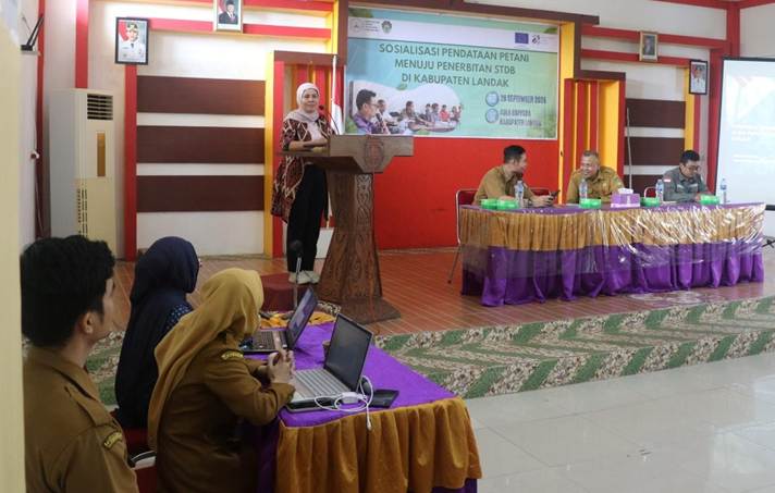
Figure 4. Hiswaty Hafid, ITC’s National Coordinator for the Palm Oil Sector, delivers remarks at the farmer and STDB registration socialization event in Landak Regency.
From a supply-chain perspective, Hiswaty Hafid, National Coordinator for the Palm Oil Sector at the International Trade Centre (ITC), explained the importance of traceability in identifying product origins. ITC also introduced the ATLAS program, which aims to support small communities in becoming better prepared to connect with international trade, including by strengthening traceability systems and e-STDB. Data availability can help farmers respond to supply-chain requirements, although it does not automatically guarantee market access or specific economic benefits.
Local Collaboration and Women’s Participation
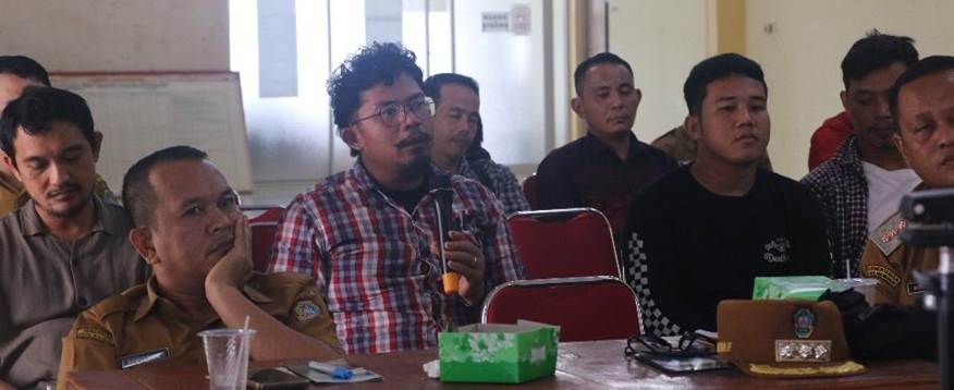
Figure 5. Barcelius Basre, representing PT Hilton, shares his views during the discussion session.
The discussion also highlighted the role of village governments and local stakeholders in building community understanding. Sengah Temila Subdistrict Head Simon Mamuraja, S.E., encouraged the involvement of village and hamlet governments to ensure that information about registration is communicated effectively. The Sebatih Village Government also emphasized the importance of coordination and understanding the history of land use within the community.
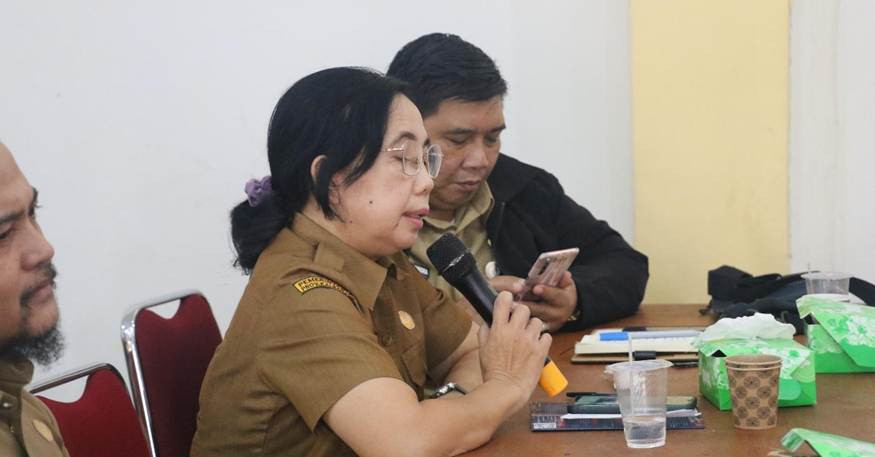
Figure 6. Eli S., Head of the Community Empowerment Division at the Landak Regency Community and Village Empowerment Agency (DPMD), shares views during the discussion session.
Meanwhile, Eli S. from the Community Empowerment Division of the Landak Regency Community and Village Empowerment Agency (DPMD) highlighted the importance of ensuring that women have access to information and opportunities to participate in discussions about plantations. More inclusive participation can help ensure that information reaches diverse members of the community rather than circulating only among certain groups.
Continuing Socialization at the Village Level
As a follow-up, 4F and relevant stakeholders are preparing further coordination, the establishment of local teams and enumerators, enumerator training, and socialization and data collection at the village level. The involvement of village governments, hamlet heads, and local community members is essential to building shared understanding and supporting a smooth registration process. The Sengah Temila Subdistrict Head emphasized the need to involve local government representatives, while the Sebatih Village Government highlighted the importance of coordination and understanding the history of land tenure and land use as known by the local community.
The planned data collection will cover farmers’ administrative information, plantations, polygons, and other supporting data. This effort will also be accompanied by capacity strengthening through learning activities on Good Agricultural Practices (GAP), agroforestry, regenerative agriculture, HCS–HCV, and cooperative institutions.
The success of this process depends not only on complete data, but also on clear information and community trust. Registration should therefore be conducted transparently and participatively, with accessible explanations of how the data will be used, who can access it, and how inaccuracies can be corrected. This approach is expected to support more accurate farmer and plantation data while strengthening collaboration among stakeholders to promote responsible landscape management.